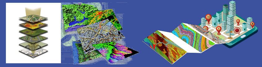
Geospatial industry encompasses private organizations, non-profit organization, individuals, research institution and government agencies that research and develop geospatial technology in different industries. This technology facilitate in bringing all the data related to a particular location (point/area) in a single platform. It thus helps in gathering, storing, integrating, managing, analyzing, displaying map and related data.
This technology includes “Remote Sensing (RS, which includes multi-spectral satellite imaging and aerial ortho-photograph), geographic Information System (GIS), Light Detection and Ranging (LIDAR), Computer-Aided Design (CAD), Location Based Services (LBS), Global Positioning System (GPS), Global navigation Systems (GNSS), Total Station”. Therefore, this geospatial technology implemented almost in all industries for all types of planning, decision-making, and to address operational needs of government, the private sector, research & science, and individuals.
We have a vast experience in Geospatial domain and our service is extended in wide spectrum. We offer geospatial based consultancy services in all sectors including Mining, Oil & Gas, Power & Energy, Land Management & Urban Planning, Agriculture & Forestry, Healthcare, Transportation, Insurance, Climate and Weather etc. Our service spans from data (spatial & non spatial) creation to viewing & analysis to planning & decision making through our customized application/web application and Decision Support System (DSS).